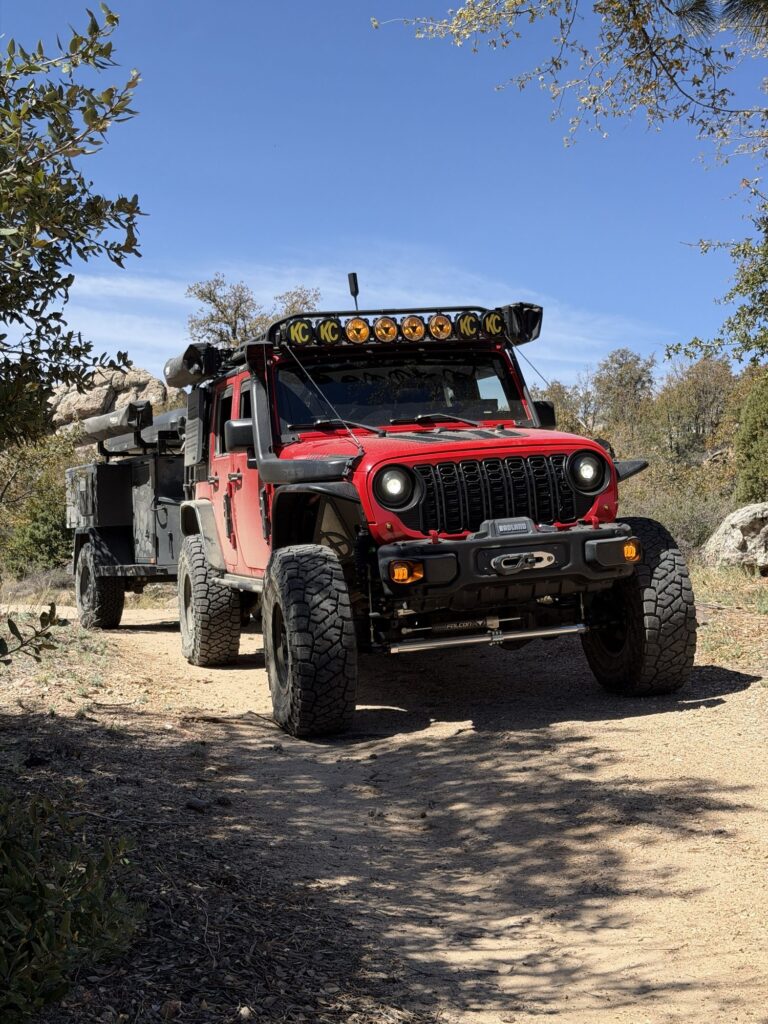
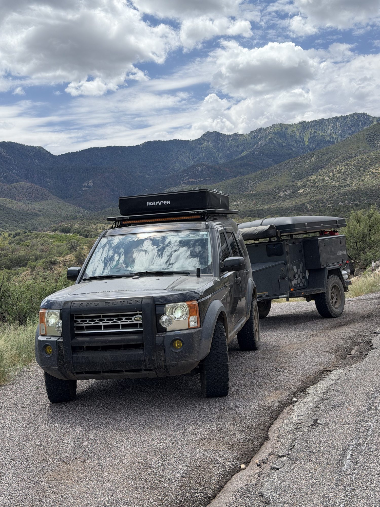
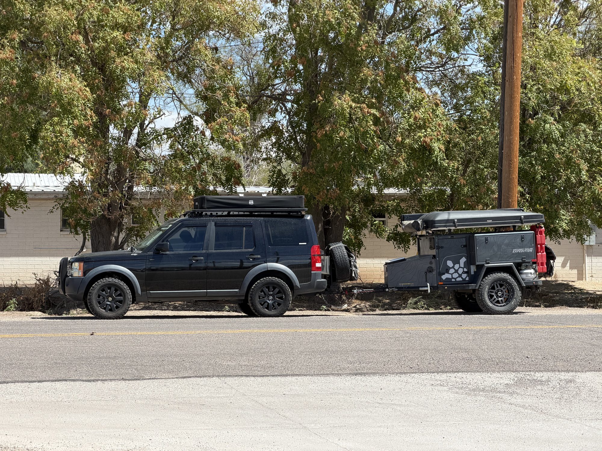
| Rig | Landy (2006 LR3) + Turtleback trailer |
| Route | Safford → Riggs Flat Lake via the Swift Trail (AZ-366) |
| Distance | 33.7 mi one way |
| Elevation | 3,233′ → 9,621′ · camp ≈ 9,300′ |
| Duration | 3 days · Labor Day weekend 2026 |
| Difficulty | 2 / 5 · easy road, moderate camp spur |
| Best season | Late spring – fall (upper road open Apr 15 – Nov 14) |
| Permits | None to camp · AZ fishing license to fish |
| Cell service | 1 spotty bar of Verizon LTE at camp · Starlink good from a clearing |
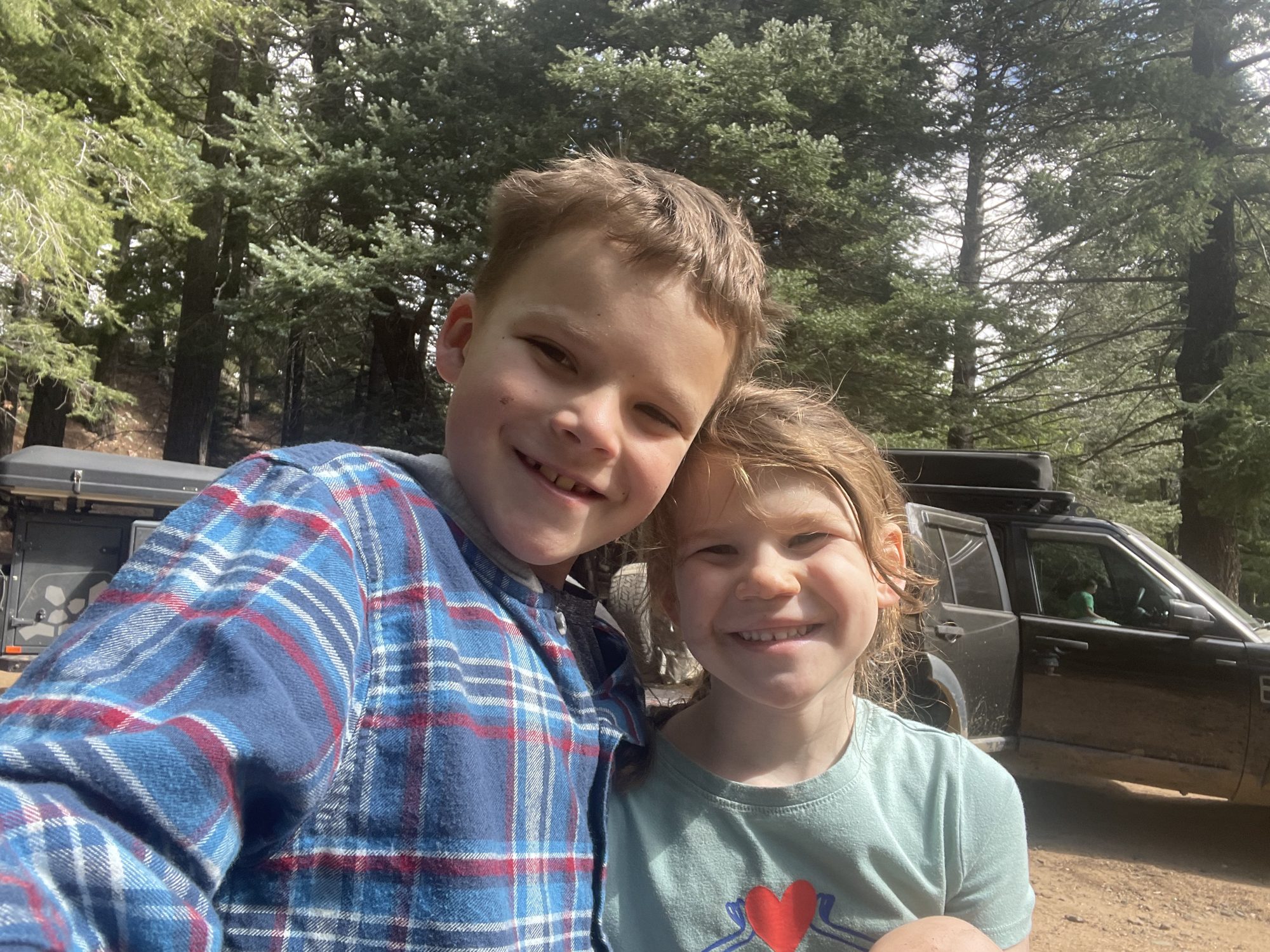
Collin was three months old when we took him on his first campout, and it’s hard to beat Mt. Graham for a first one. In 33 miles you climb from the desert floor outside Safford to cool pine forest above 9,000 feet. We camped at 9,300′, had 60s during the day and 50s at night, and spent Labor Day weekend with Gavin, Imogene and a small crew of friends doing the stuff that makes camping with kids worth it: sunsets from the ridge, a hidden aspen grove, a bear track in the mud, and a day at the lake.
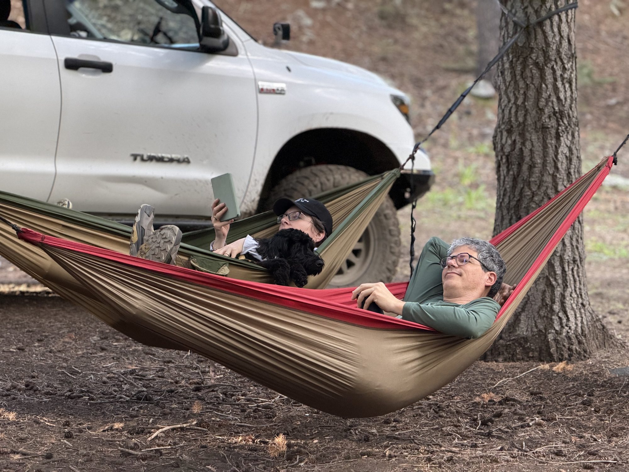
Three rigs made the trip: Landy and our Turtleback; Chris and Jaime (@tracking_tauntaun) in their Jeep JK with their own Turtleback; and Keith and Maggie (@adventure.offgrid) in their Tundra with the OVRLND camper they’d just finished building out.
The drive: Mexico to Canada in an afternoon
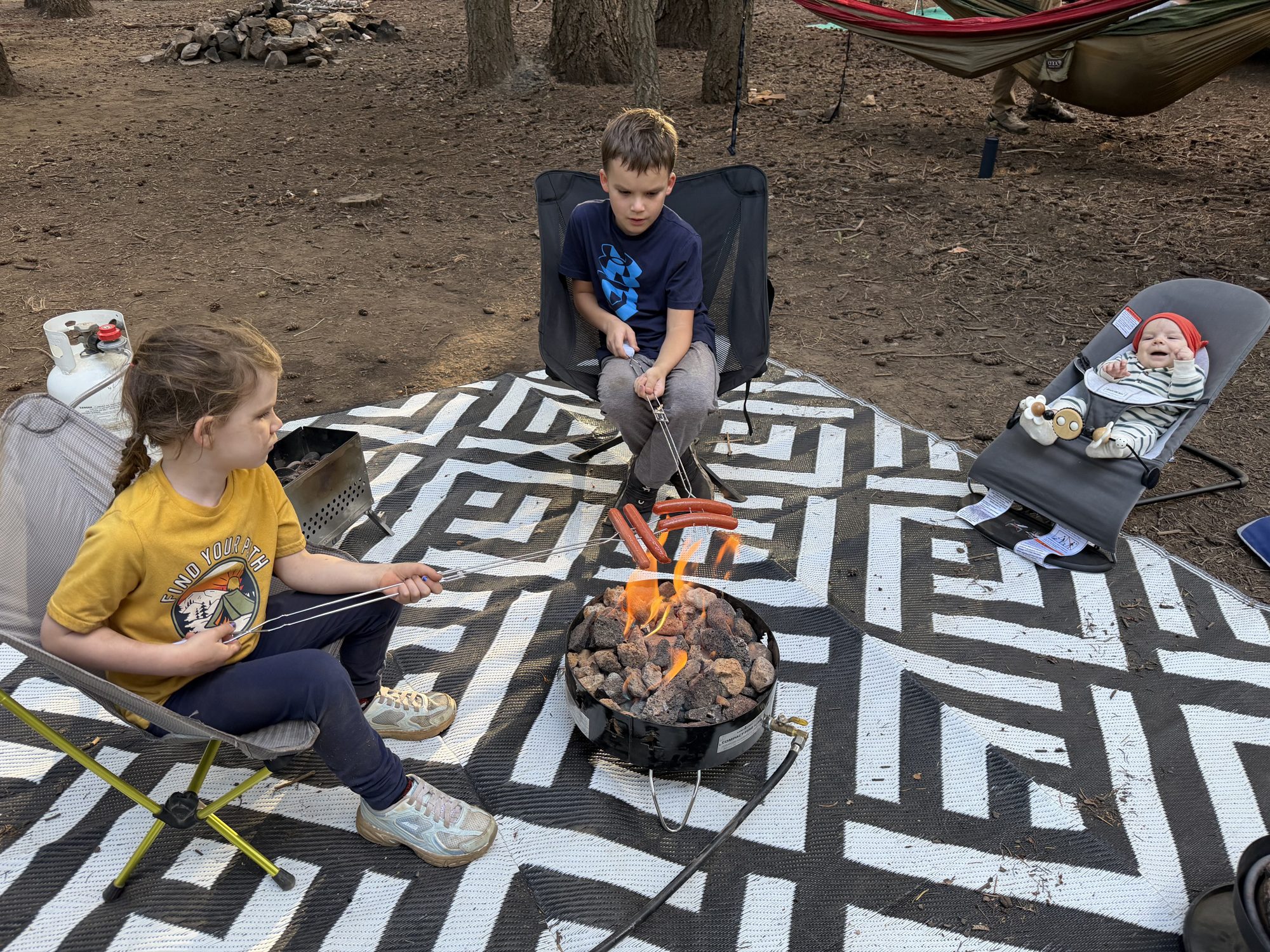
We stopped for lunch at Pima Taylor Freeze in Pima, just west of Safford. It’s an old-school burger and ice cream stand, and both were great. The leftovers rode up the mountain in the fridge for the kids to snack on later.
Mt. Graham is a sky island. That means it’s a mountain that rises so far above the desert around it that its top half has its own cooler, wetter world, cut off from the next forest by miles of desert. The Forest Service calls the Swift Trail “the ecological equivalent of driving from Mexico to Canada,” and that’s exactly what it feels like.
Our GPS track tells the story. We passed 4,000 feet at mile 4, 6,000 feet at mile 9, 8,000 feet at mile 15 and 9,000 feet by mile 20. Along the way the desert of cactus, yucca and mesquite gives way to oak grassland, then piñon and juniper, then tall ponderosa pines, and finally spruce, fir and aspen at the top.
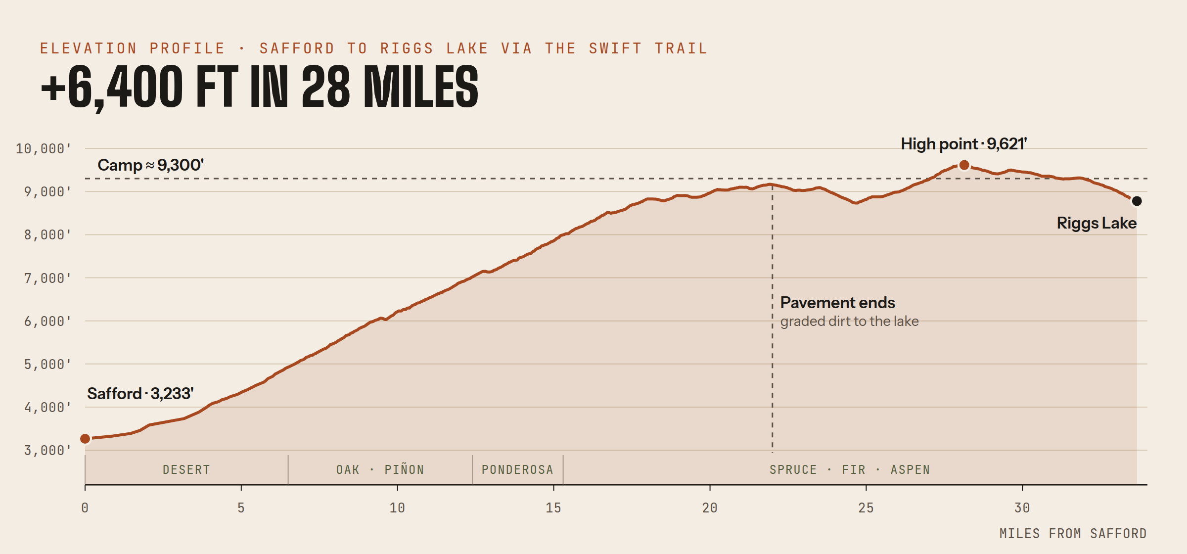
The road is paved for roughly the first 22 miles. It’s steep and winding, with tight switchbacks; the steepest stretch on our track averaged about 8.5% for a full mile. At the top it turns to graded dirt for the rest of the way to the lake. Our rigs and short-wheelbase off-road trailers had no trouble, but I wouldn’t bring a big travel trailer up here. The Forest Service doesn’t recommend vehicles over 22 feet at Riggs Lake because of the switchbacks. If you’re towing something long, there are campgrounds near the bottom of the mountain that can handle it.
Camp at 9,300 feet
There are several forest road offshoots for camping along the dirt section near the top. We took one to the end and found several spots along it. The offshoot itself is a moderate trail with some undulating terrain, and there was mud when we were there. There were a few tight trees, but neither Turtleback nor Keith and Maggie’s truck camper had any trouble.
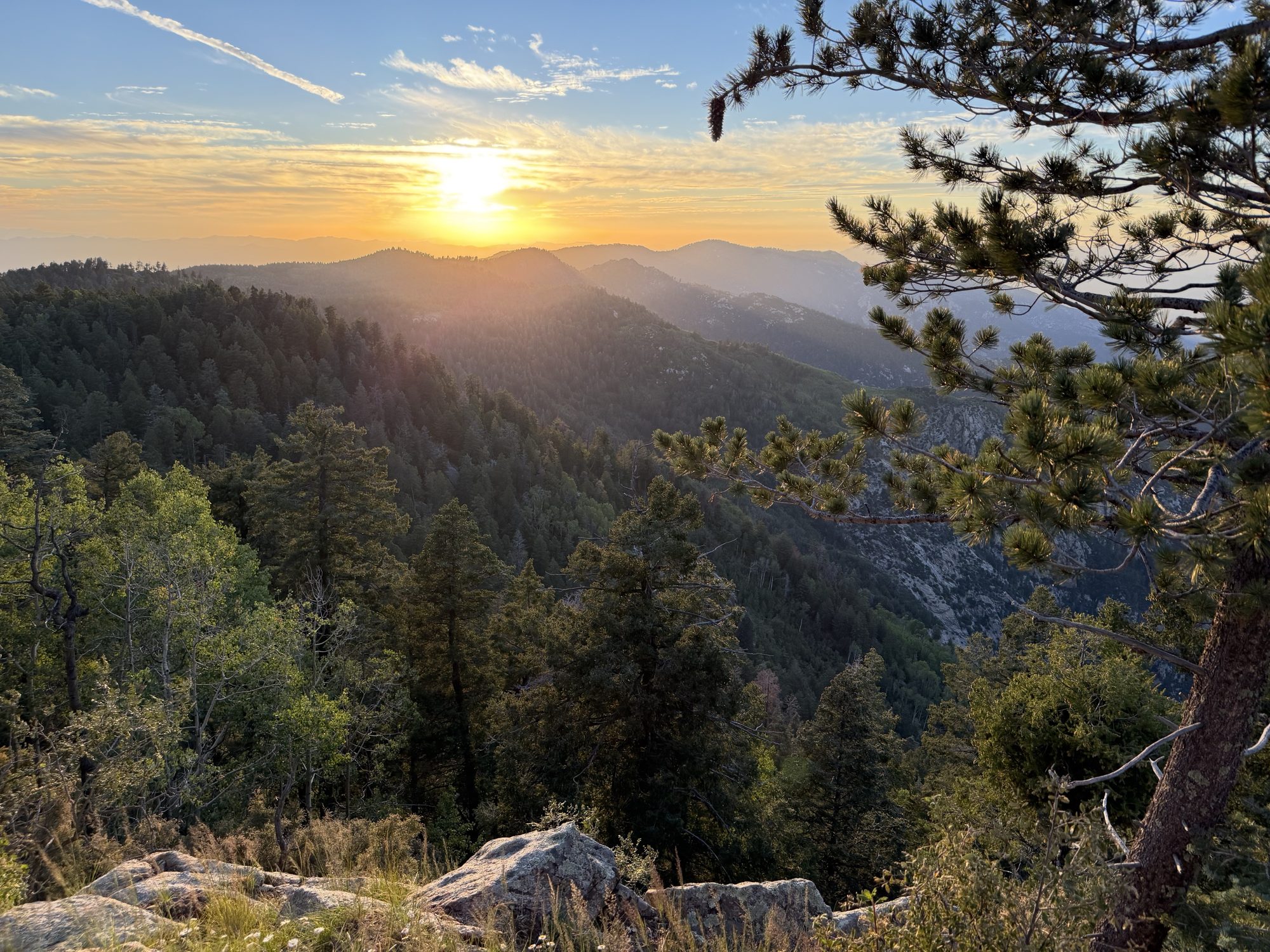
It was quiet, tucked into the pines, and the temperatures were perfect for a baby’s first campout. A short hike from camp brings you out onto the ridgeline, where you can see all the way down to the valley floor at 2,900 feet. That’s 6,400 feet straight down from where we were standing. Sunsets from up there were unreal.
The hidden aspen grove
We hiked a short trail near camp that led to a hidden aspen grove, and these aspens were HUGE. Seeing a stand like that in southern Arizona is a reminder of how different the top of this mountain is from the desert below.
Trail school: sun, shadows and moss
We used the hike to teach the kids how to find direction without a phone:
- The sun. It rises in the east and sets in the west. In Arizona the midday sun sits to the south.
- Shadows. Push a stick into the ground and mark the tip of its shadow. Wait 15 minutes and mark it again. A line from the first mark to the second runs roughly west to east.
- Moss. Moss tends to grow on the shady north side of trees and rocks. It’s a fun clue for kids to look for, but it’s the least reliable of the three, so use it to back up the others, not on its own.
We also found animal tracks, including a black bear’s rear paw print pressed into dried mud. That was a big hit with the kids, and a good reminder to keep a clean camp.
Day two: Riggs Lake
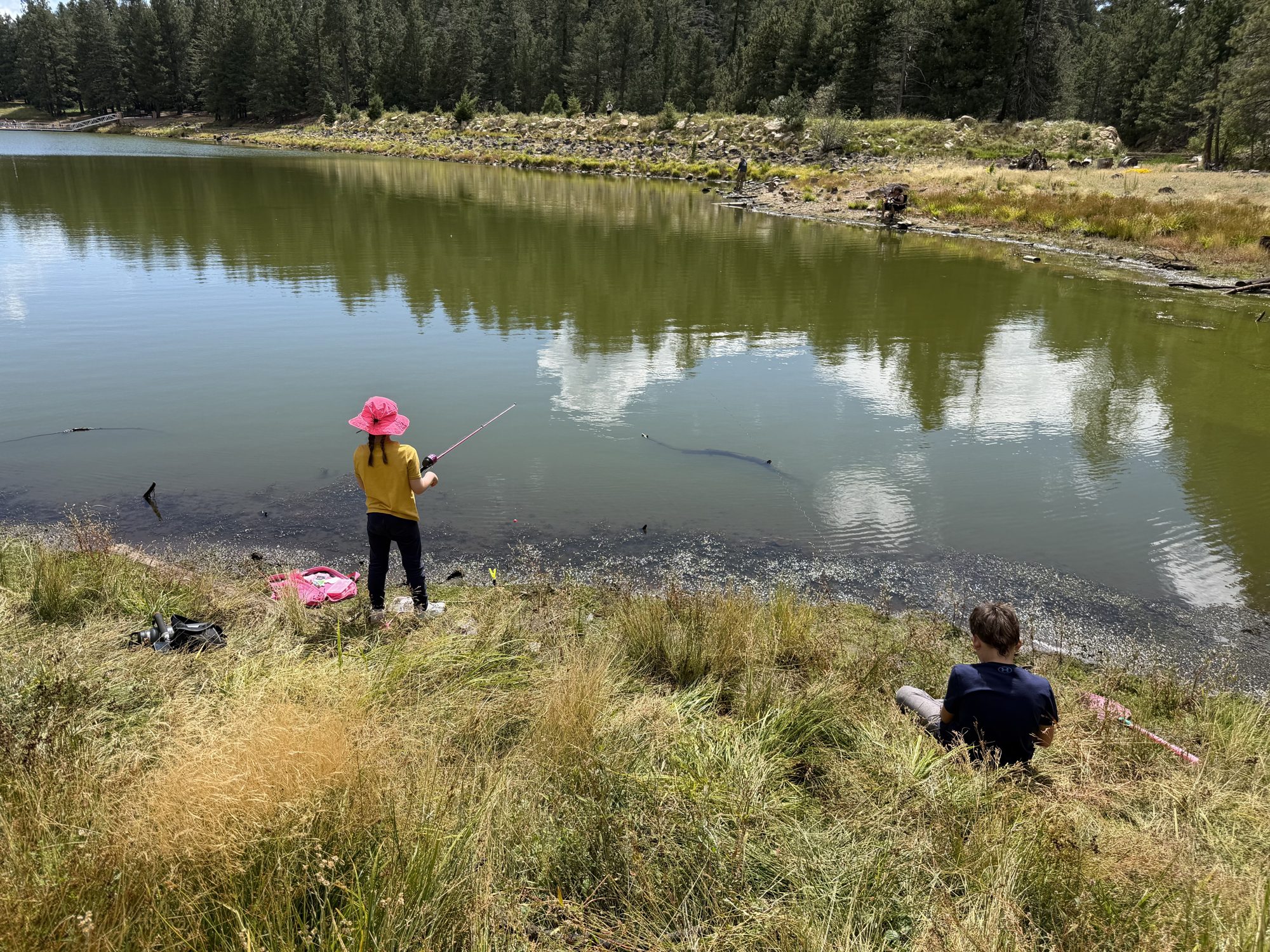
We spent the second day fishing at Riggs Flat Lake, a small 11-acre lake at the end of the Swift Trail, surrounded by pines at about 8,700 feet. It’s stocked with rainbow and brown trout in the summer. We didn’t catch a thing, but with a small group of friends and family, nobody cared.
Good to know:
- You’ll need an Arizona Game & Fish fishing license.
- Live bait isn’t allowed.
- Boats are limited to one electric trolling motor.
- The developed day-use area is $8 per vehicle. There’s also a free pullout to park for fishing.
- There’s no drinking water at the lake, so bring your own.
History and points of interest along the Swift Trail
- Dził Nchaa Sí’an. Mt. Graham is sacred to the Western Apache and is one of their four holiest mountains. Treat it that way.
- A road built by the CCC. The Swift Trail was built during the Great Depression by the Civilian Conservation Corps. It’s named for T.T. Swift, the first supervisor of the Coronado National Forest.
- Heliograph Peak. During the 1880s campaign against Geronimo, the Army signaled between mountaintops with mirrors (heliographs), and this peak was one of the stations. The CCC later built a fire lookout tower there.
- Columbine. A 1930s Forest Service site near the top. Its visitor center has exhibits on the mountain’s natural and cultural history.
- Hospital Flat and Treasure Park. Hospital Flat is a high meadow known for wildflowers. Treasure Park comes with a legend about gold and silver buried by bandits. Both are short side trips.
- The observatory. Near the summit, the Mount Graham International Observatory is home to the Large Binocular Telescope. You can’t drive up to it yourself. Guided tours leave from Eastern Arizona College’s Discovery Park in Safford, mid-May through mid-November, and you need a reservation.
- The Mount Graham red squirrel. It lives nowhere else on Earth. Its population fell to just a few dozen after the 2017 Frye Fire. The summit area is a protected refugium, and you can’t go in without a permit.
- By the numbers. At 10,720 feet, Mt. Graham is the highest point in the range. Its 6,320 feet of prominence is the most of any peak in Arizona, and it’s the southernmost spot in the continental U.S. above 10,000 feet.

What worked, what broke
Worked
- RIGd UltraSwing. This was our first long-distance and off-road tow with it, and it was flawless. We could tow the Turtleback and still carry the spare on the swing-out.
- RIGd UltraTable. Extra prep space at camp all day. At night it held the diesel heater that kept mama and Collin warm in the iKamper X-Cover 3.0 on top of Landy.
- ICECO VL75 Pro. Plenty of room for packed meals and drinks, with space left over for the Taylor Freeze leftovers.
- weBoost and Starlink Mini. The booster helped with spotty Verizon, and the Starlink Mini on its Veritas Vans mount was great once we moved it into a clearing.
Broke / would change
- Nothing broke.
- Starlink doesn’t like tall pines. Plan on setting it up in a clearing rather than right at camp.

Featured partner
ICECO VL75 Pro
Our 79-quart dual-zone fridge goes on every trip. This time it held packed meals and drinks for the whole weekend, with room left over for the Taylor Freeze leftovers the kids snacked on at camp.
Code OAZ
Featured partner
Veritas Vans Starlink Mini mount
Our Starlink Mini rides on a Veritas Vans mount. Up at 9,300 feet with one spotty bar of LTE, it kept us connected once we set it up in a clearing.
Shop via my link
Know before you go
- Season. The upper Swift Trail is closed November 15 through April 15.
- Length. Short off-road trailers and truck campers are fine. Big trailers should stay at the lower campgrounds.
- Bears. This is black bear country. Lock up food and trash, and keep your camp clean.
- Fire. Check current fire restrictions with the Coronado National Forest, Safford Ranger District, before you go.
- Water. There’s none at Riggs, so pack in what you need.
- Layers. It runs about 30 degrees cooler at camp than in Safford.
- Connectivity. Don’t count on cell service. A booster or Starlink makes a real difference.
The verdict
For a family’s first campout, it doesn’t get much better. The drive is easy, it’s only a few hours from Phoenix, and it’s 30 degrees cooler than the valley, with quiet camps in the pines and a lake for day two. If you’re towing a short off-road trailer or running a truck camper, go. If you’re pulling a long travel trailer, use the campgrounds lower on the mountain and day-trip to the top.
Get the next trip report first.
One email when a new report drops. GPS tracks and camp spots for subscribers first.